Taxes included.
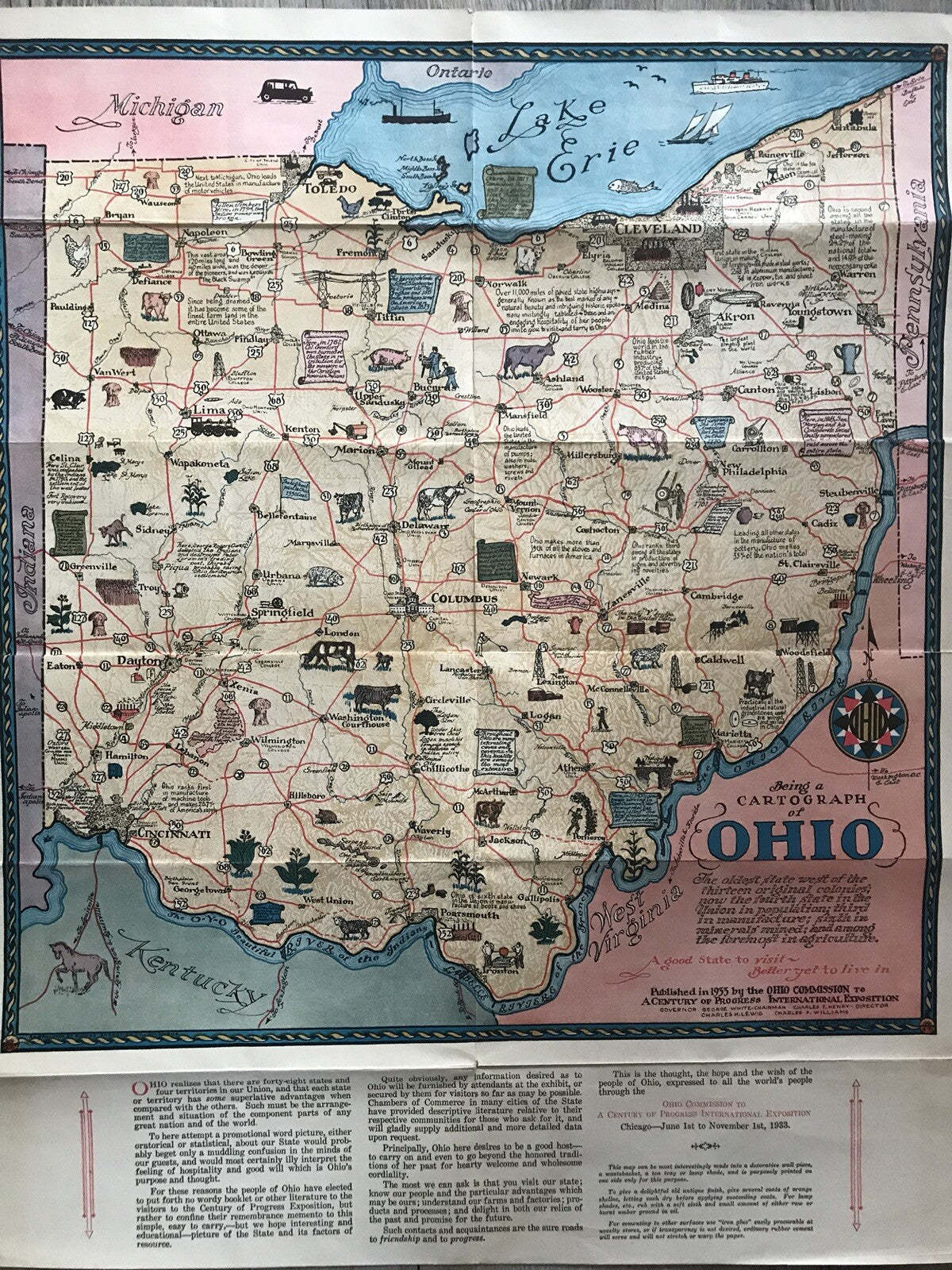
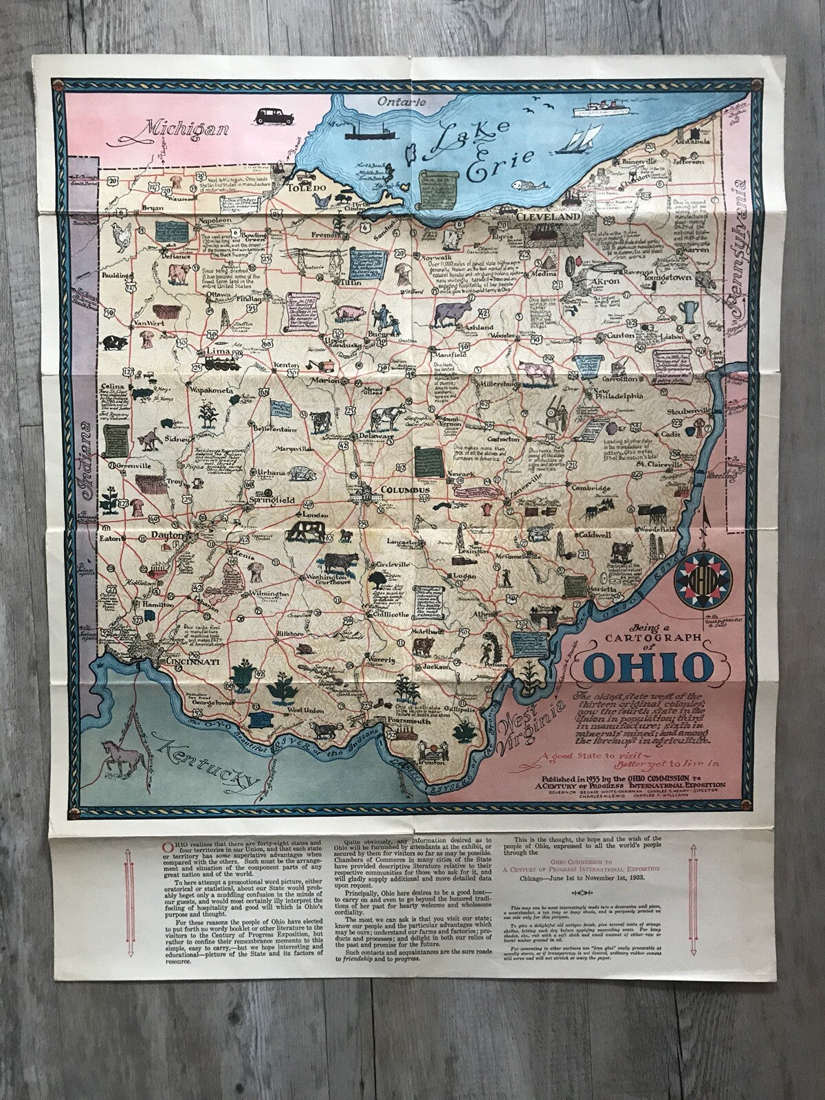
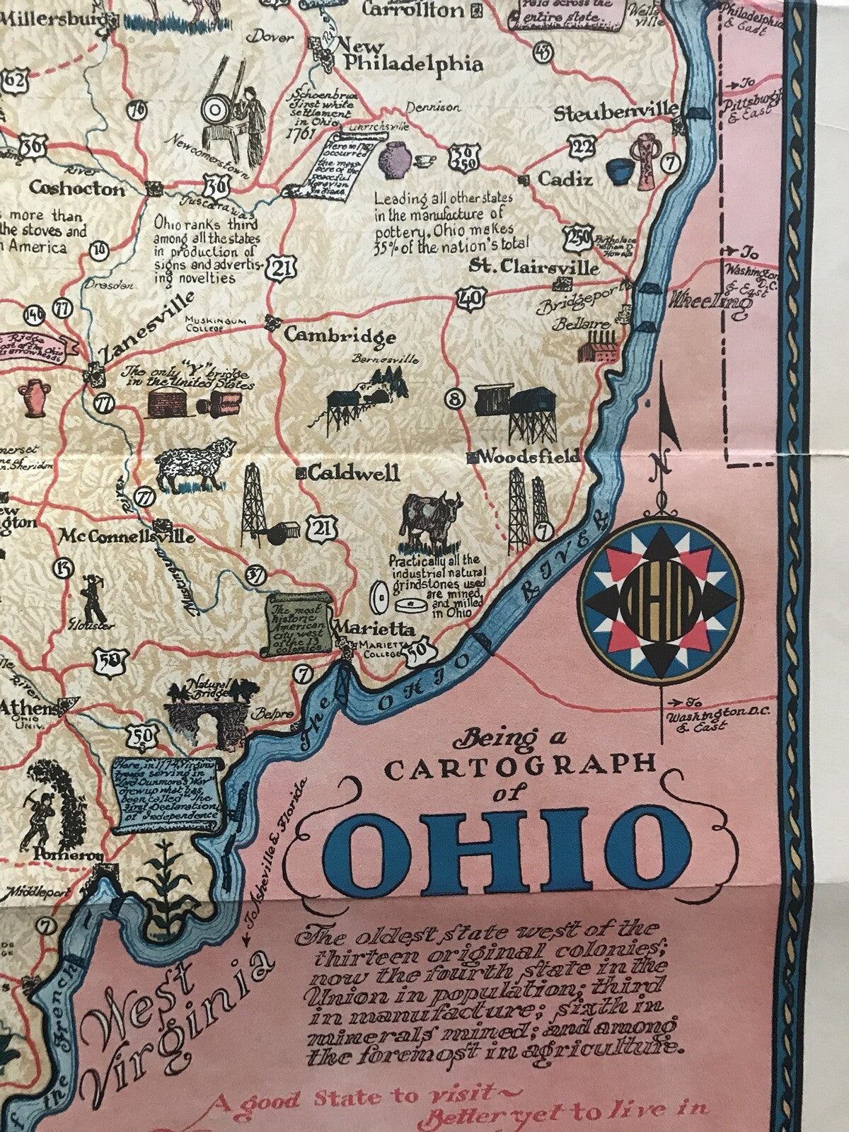
Here is a rare original 1933 poster map entitled Being a Cartograph of Ohio.
A guaranteed original, authentic poster map.
Please view my other items on Ebay for more quality original posters, antiques, and collectibles.
Dimensions: 23.5 inches by 19 inches or 59.69 cms by 48.26 cms.
Condition: Very good, folded, one 7mm tear to top middle fold.
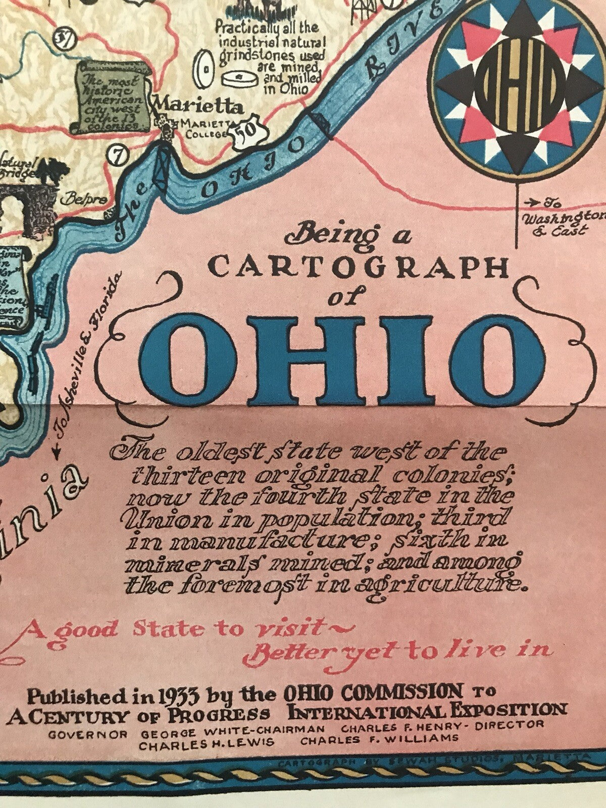
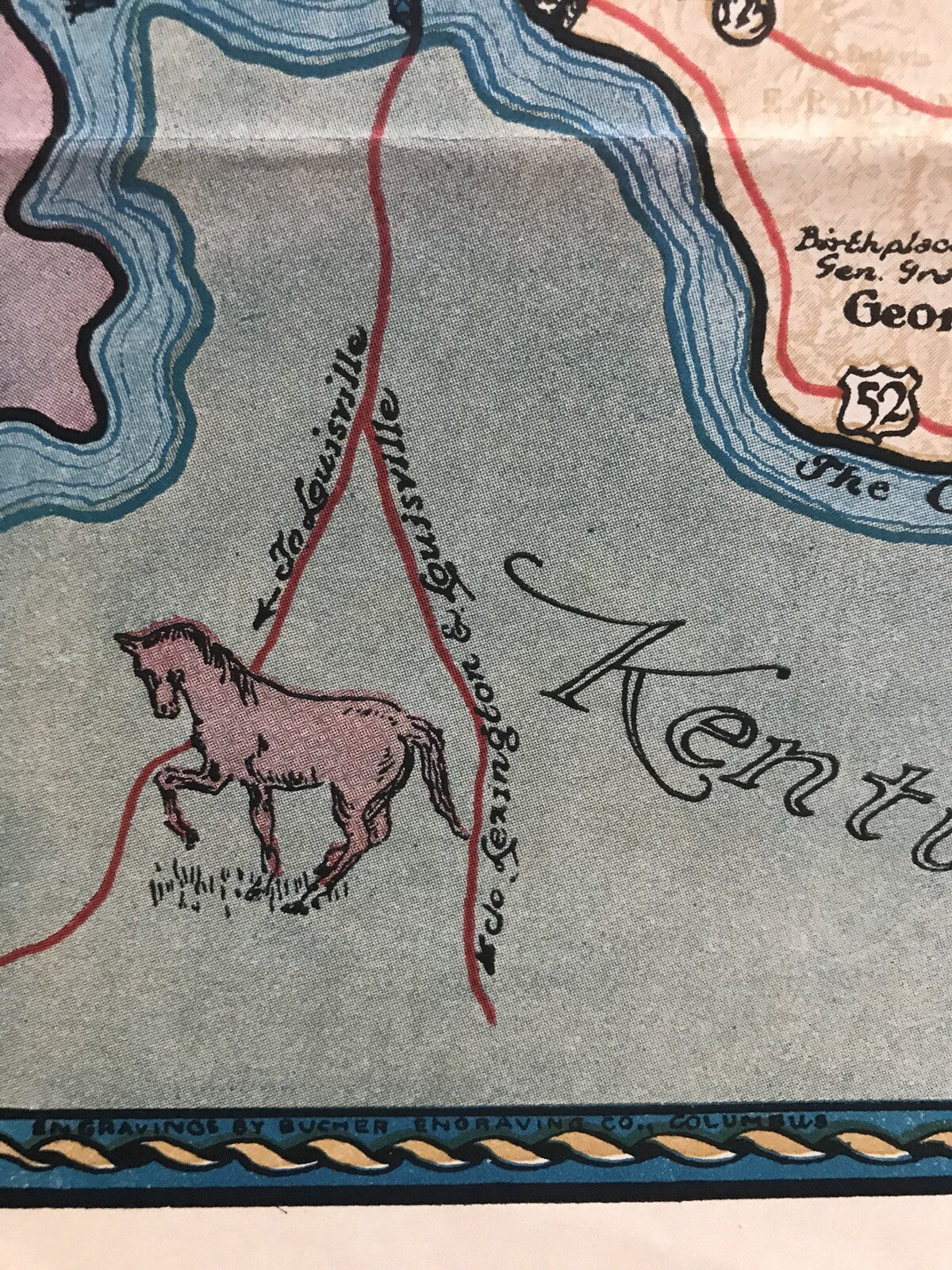
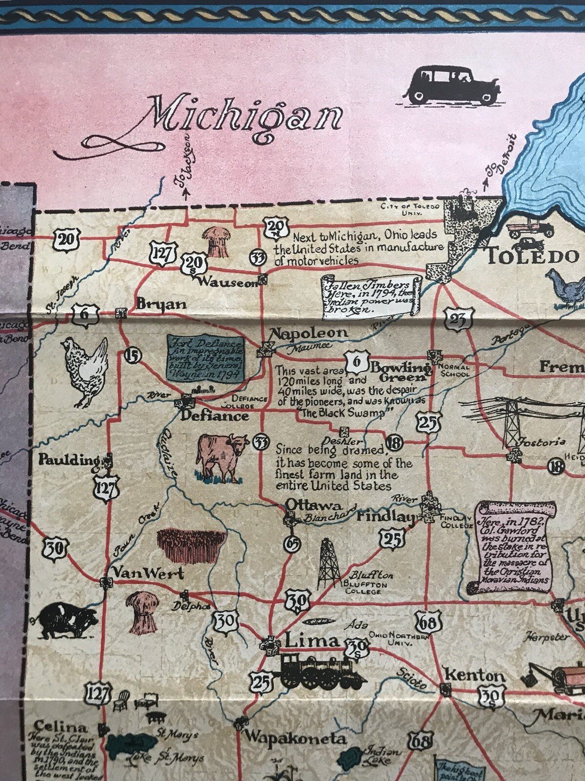
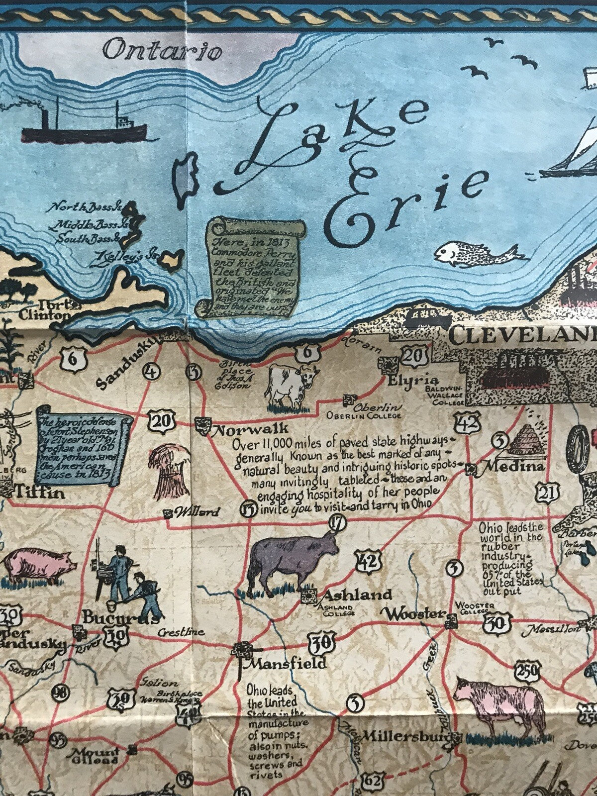
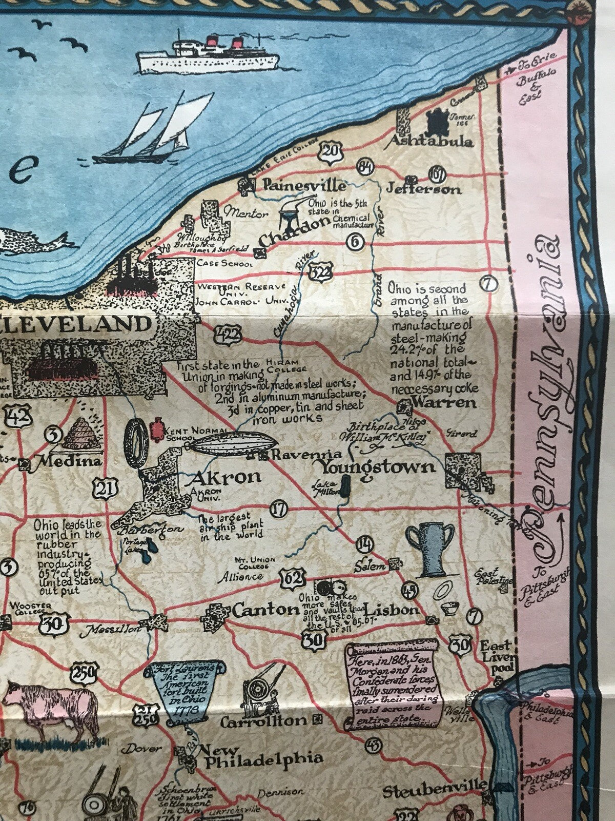
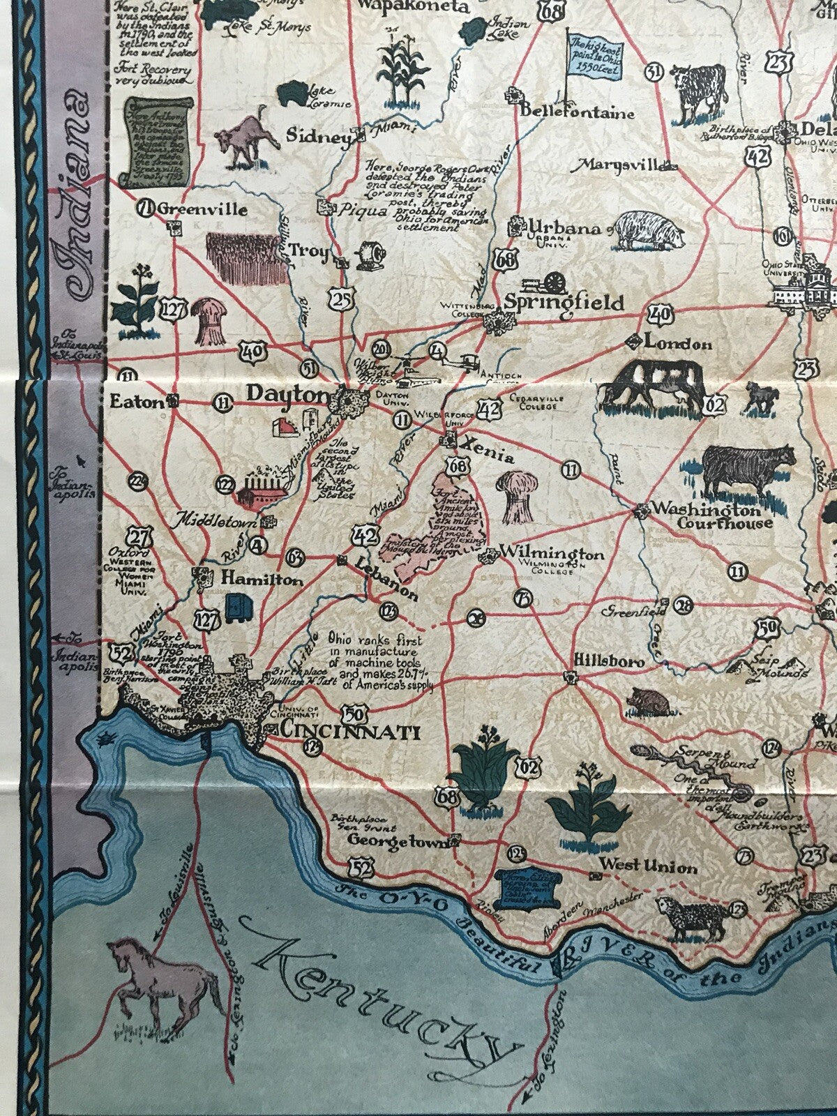
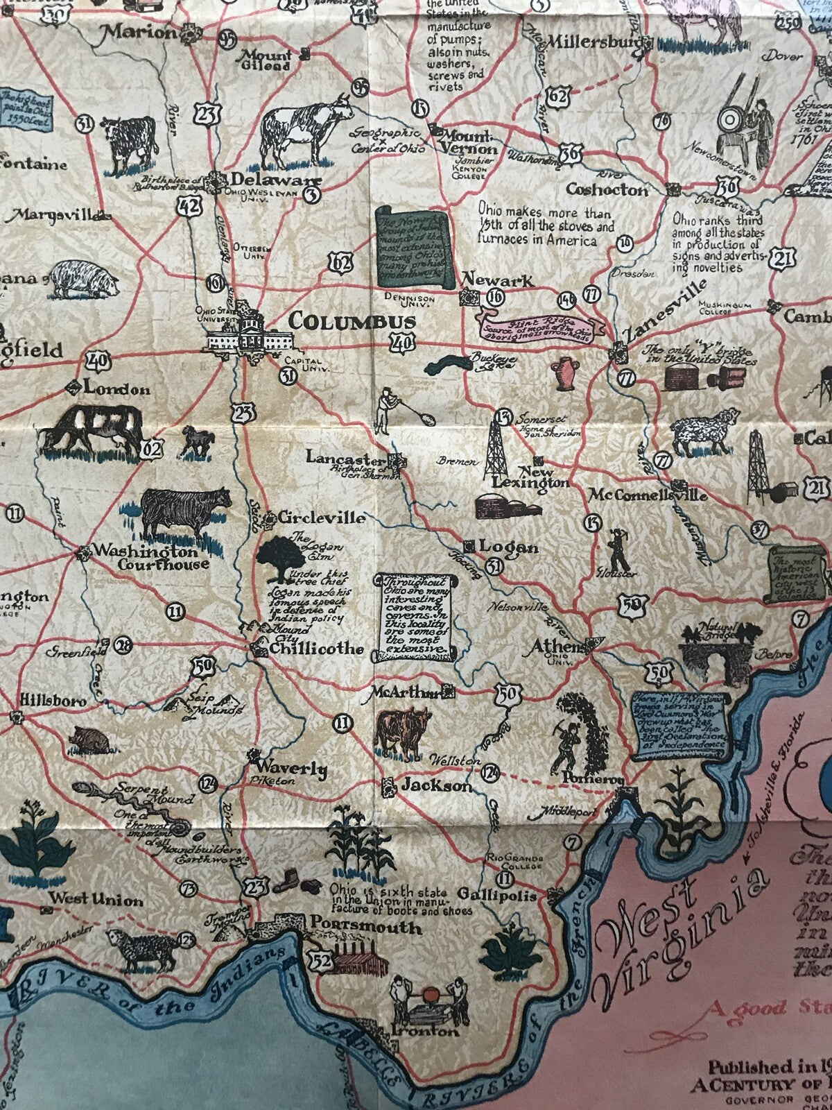
This is a beautiful pictorial map of Ohio published by the Ohio Commission to A Century of Progress International Exposition at the Columbian Exposition or The Chicago World’s Fair. It covers the state of Ohio in detail with numerous illustrations throughout, referencing history, topography, fun facts about Ohio, and points of interest, animals, etc. Some of these include ‘The only Y bridge in the United States’, Natural Bridge, ‘Throughout Ohio are many interesting caves and caverns. In this locality are some of the most extensive’, ‘birthplace of Senator Grant’, etc. The map also identifies rivers and highways.
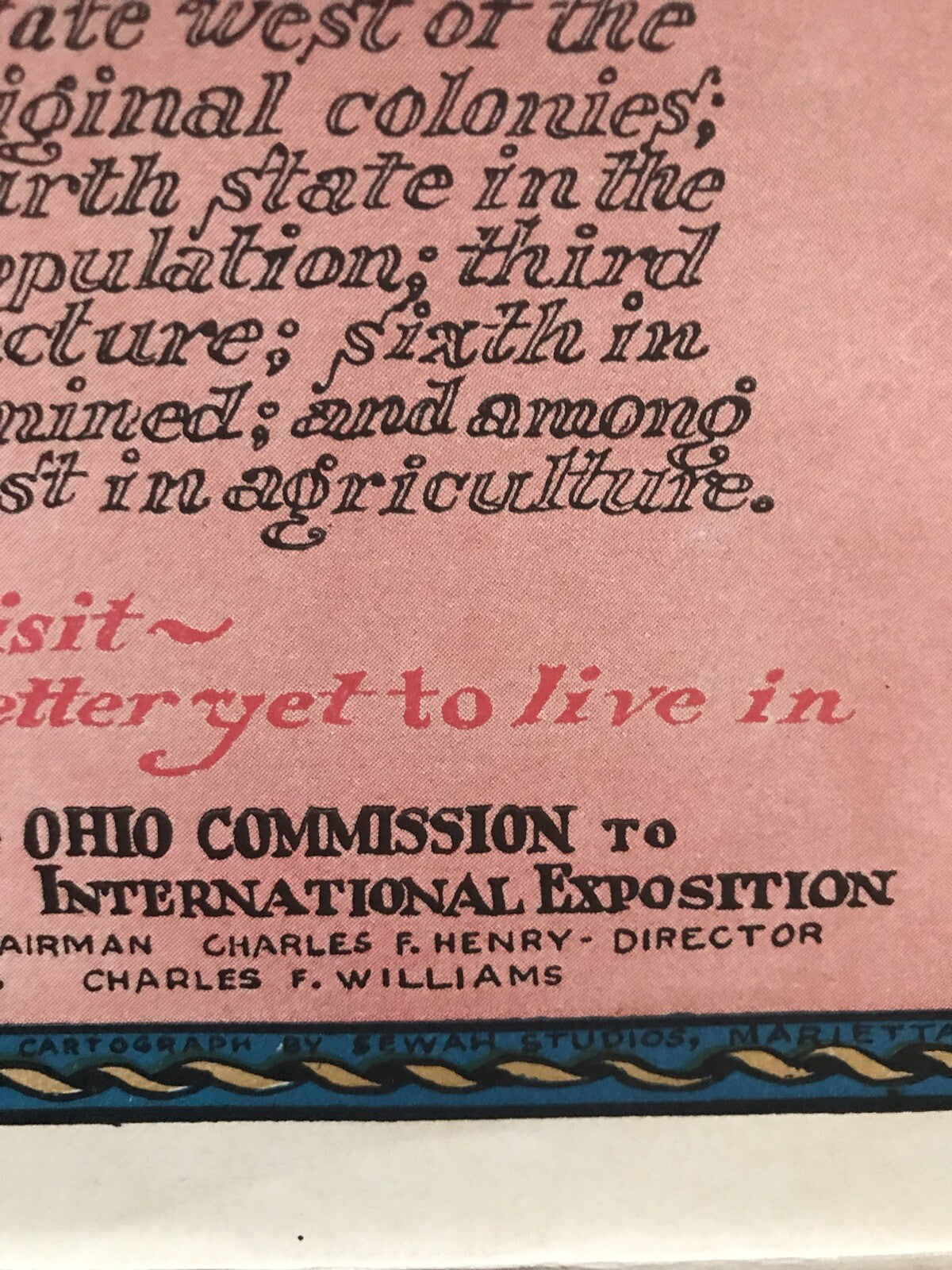
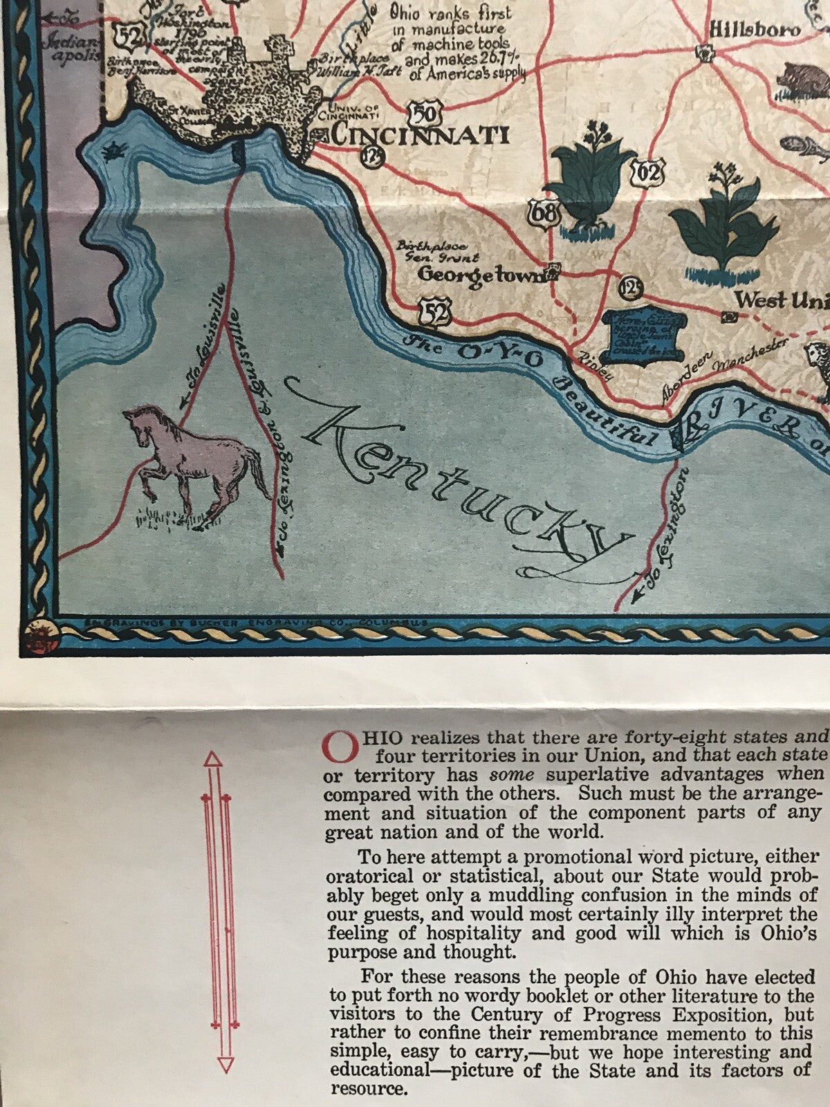
The bottom half of the map includes information about the state and suggestions on ways to display the map, including ‘This map can be most interestingly made into a decorative wall piece, a wastebasket, a tea tray or lam shade…’. This map promotes Ohio as 'The oldest state west of the thirteen original colonies; now the fourth state in the Union in population, third in manufacture; sixth in minerals mined; and among the foremost in agriculture’ and ‘A good state to visit, better yet to live in.' Created by Sewah Studios, Marietta and published by the Ohio Commission to A Century of Progress International Exposition.
I am an experienced seller of original poster, antiques, and collectibles, and this item will be well wrapped, and packed for delivery.